Maritime
Survey waters. Track activity.
Imagery can complement maritime information sources for coastal, port and vessel-activity assessment.
Register your monitoring needsApplications for maritime.
01
Observe port and coastal infrastructure
Define the area of interest, comparison period and decision you need to support. EAK-Orbitals will assess whether the planned mission and data workflow can meet that requirement.
02
Assess shoreline change
Define the area of interest, comparison period and decision you need to support. EAK-Orbitals will assess whether the planned mission and data workflow can meet that requirement.
03
Review visible vessel activity where detectable
Define the area of interest, comparison period and decision you need to support. EAK-Orbitals will assess whether the planned mission and data workflow can meet that requirement.
04
Combine observations with maritime records
Define the area of interest, comparison period and decision you need to support. EAK-Orbitals will assess whether the planned mission and data workflow can meet that requirement.
From a question to a monitoring brief.
Identify the places you need observed, how often you need comparison data, and what other evidence will inform interpretation. Acquisition depends on orbit, weather, illumination, payload capability and operating resources. No fixed resolution, revisit interval or detection accuracy is promised here.
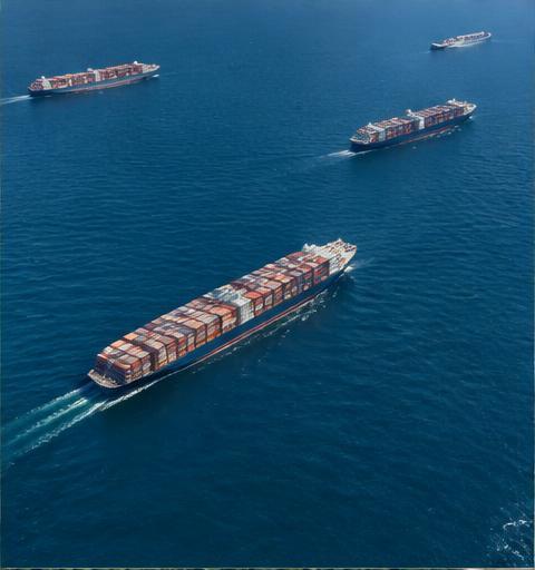
Illustrative industry imagery. Services are not operational before satellite readiness. Observations are decision-support information, not conclusive proof of activity, identity, subsurface mineral deposits or financial outcomes.
View monitoring plans